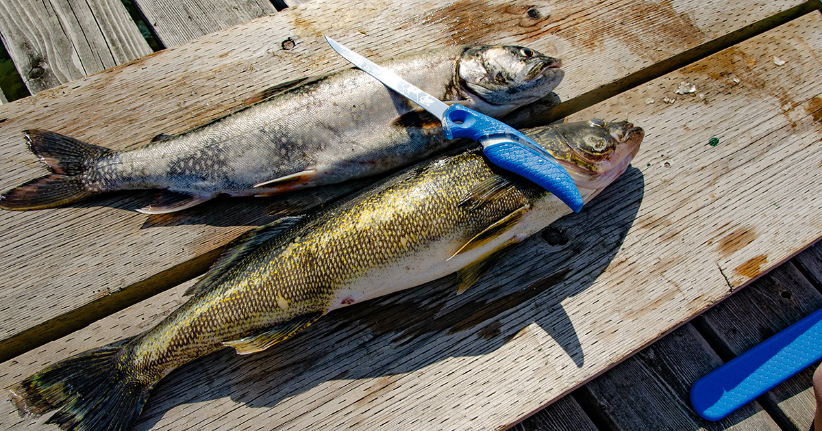
Finding the perfect fishing spot can be a challenge for shore anglers. Well-known community holes may be convenient, but come with highly-educated fish and crowds of anglers. You might already have a few secret spots, but repeated pressure on any location can diminish the bite. The quest for discovering new, lesser-known spots can be highly rewarding, but where do you begin?
That’s where the Garmin Navionics app comes in. This app provides a highly detailed digital bathymetric (underwater) map of nearly every major waterbody in North America. I’ve been using it to guide my shore-fishing decisions for years, and it’s been a game-changer. After moving away from my hometown, where I had spent years finding the best fishing spots with friends, I found myself in a new city. I was surrounded by water, but I had no experience or insider knowledge. Navionics became my key to breaking down the vast shorelines and identifying key areas, helping me maximize my limited time for exploration and fishing.
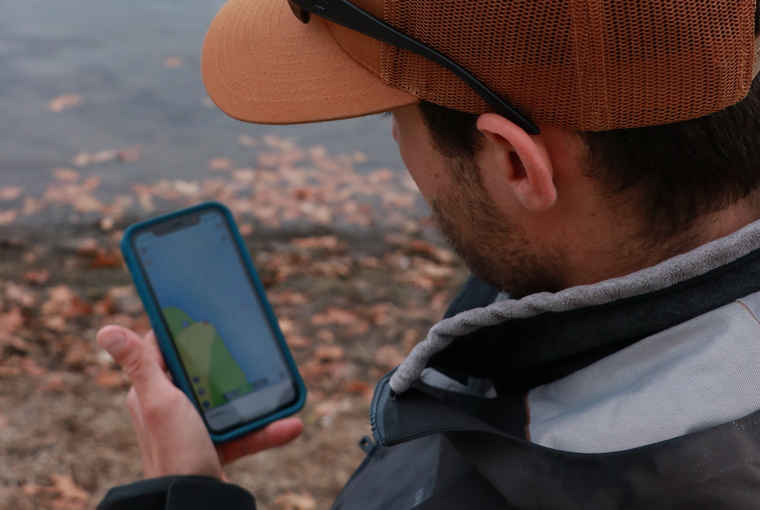
The key to successful shore fishing with Navionics is identifying fish-holding structures within casting distance. Shore anglers can mostly ignore anything beyond 70 metres from the bank. The Navionics app reveals features such as points, humps, ditches, flats, obstruction markers, or contour changes within casting range. Many of these are invisible from the bank, which means other anglers are less likely to have discovered them.
Navionics also helps you understand why some shore spots are so productive, allowing you to replicate those findings in new locations. Just analyze the bathymetric features of your proven spot and look for similar spots along the shoreline. You quickly build a pattern for productive areas.
And you don’t have to wait until you’re at the water’s edge to make decisions. Peruse the charts and make notes at home on your couch. Making the Navionics app part of my shore fishing strategy, I turn the guesswork of finding new spots into an informed, productive experience. Whether you’re a seasoned angler looking to unlock new locations or a beginner seeking an edge, it can significantly improve your success.
I choose shore lures that fly far. While I might drag a 1⁄8-ounce Ned rig from a boat, I’ll upsize to a ¼ or 3⁄8-ounce Ned rig from shore to cover the same area. I can cast a spy bait much farther than a finesse swimbait, and a whopper plopper will reach greater distances than a small one.
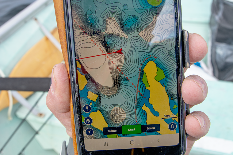
The Navionics app has also proven useful in a boat. When I hop into a tinny, or just don't feel like rigging the big sonar/GPS and batteries for quick outings, I use my phone to navigate the contours and watch my trolling speed. Even on the hazard-filled waters of eastern Georgian Bay, it's proven effective for navigation.
Fishing with just my phone. Of course I don't get live water temperatures or the fish marks, but the structure detail is pretty solid. Make sure you switch your map option from Nautical Chart to SonarChart for best detail.
Originally published in Ontario OUT of DOORS’ Fishing Annual 2025