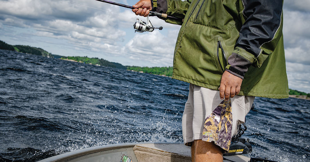
Each year, walleye make predictable movements that begin in spring with the spawning process and continue through summer, when they hold in deeper water. The time of year after walleye leave spawning areas, but before they arrive at their summer haunts, is called the “transition.” Where I fish in northwestern Ontario, it usually takes place in June. It’s not spring fishing, but it’s not summer fishing, either. The transition offers both numbers and big fish. The exertion of the spawn is over and, with warming water temperatures, walleye search actively for forage. As a guide, I see more 100-plus-fish days in my boat during this time of year than any other. I clearly remember an outing in the middle of the transition during 2009. A couple of friends stopped in to visit on their way through northwestern Ontario and we spent a morning fishing together. The breeze was light from the south, so I decided to fish the south side of a sand point that sticks out from the shoreline. I brought the boat to the bottom of the drop-off, just off the point, in about 12 feet of water. As I was passing out minnows to tip jigs, I glanced at the graph. “We’re marking fish here, guys, so get those jigs on bottom,” I told them. The next three hours were a blur of fish-catching mayhem. As fast as we could get our baits down, hungry walleye would inhale them. It took longer to unhook fish and re-bait than it did to catch another walleye. We caught a lot of fish – too many to count – and also landed a trophy 28-incher. None of us will ever forget the experience. It was a testament to the potential of transition-time walleye fishing. Zeroing in Locating transition zones is the first step towards catching fish. Think of these zones as highways connecting spawning locations to main-lake basins. Walleye use structure in these zones as they migrate towards summer habitat. A lake chart with depth contours will speed up the fish-finding process. Start by identifying likely spawning areas, such as rivers, creekmouths, and shallow bays. Next, find basin areas with deeper water, typically towards the centre of the lake. To identify transition zones, use the chart to trace natural corridors that walleye must follow as they make their seasonal movements. As a rule of thumb, mainland shorelines connecting spring spawning