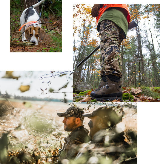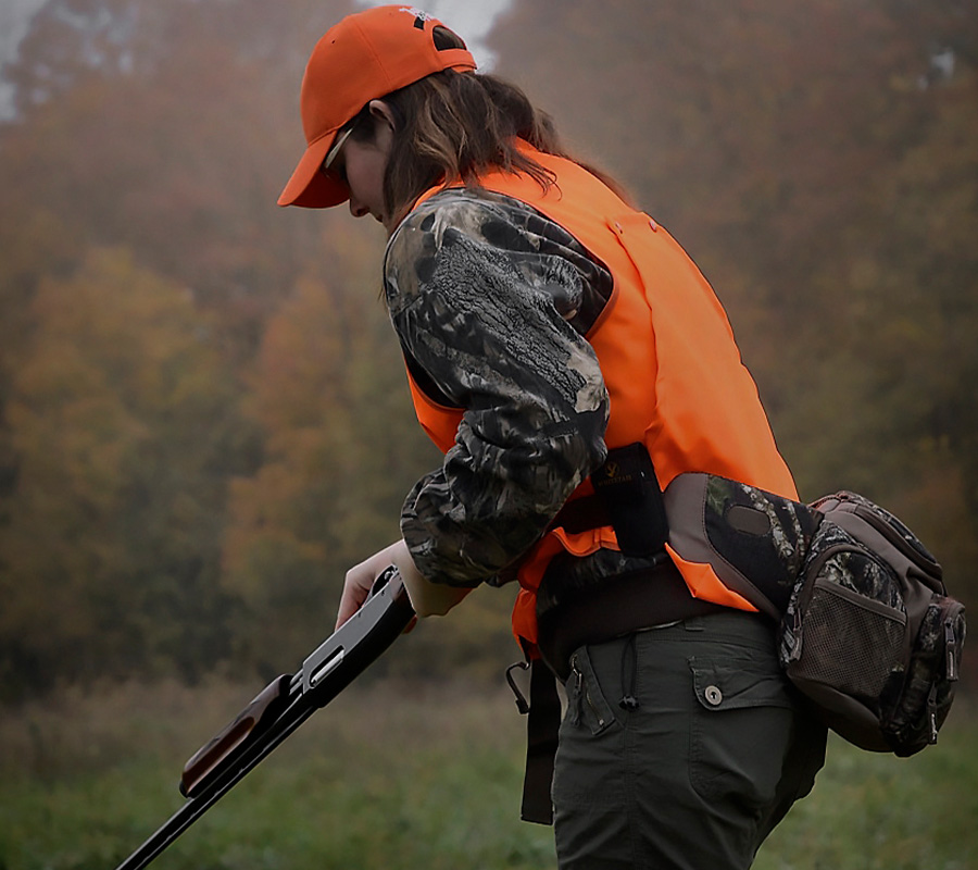
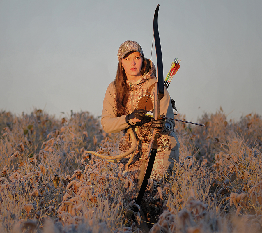
Advocacy | How-Tos
Get Hunting
Discover expert tips and advocacy efforts for hunting in Ontario. Join our community to enhance your hunting skills and contribute to wildlife conservation.
Learn More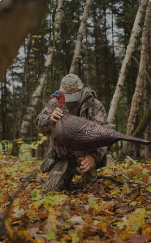
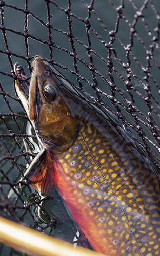
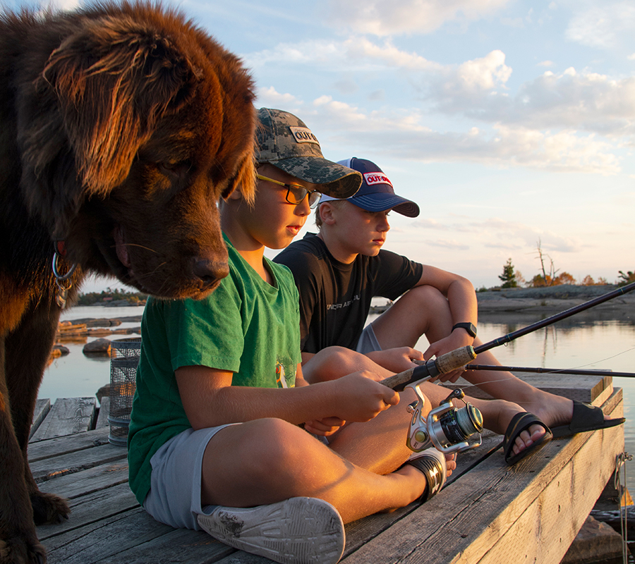
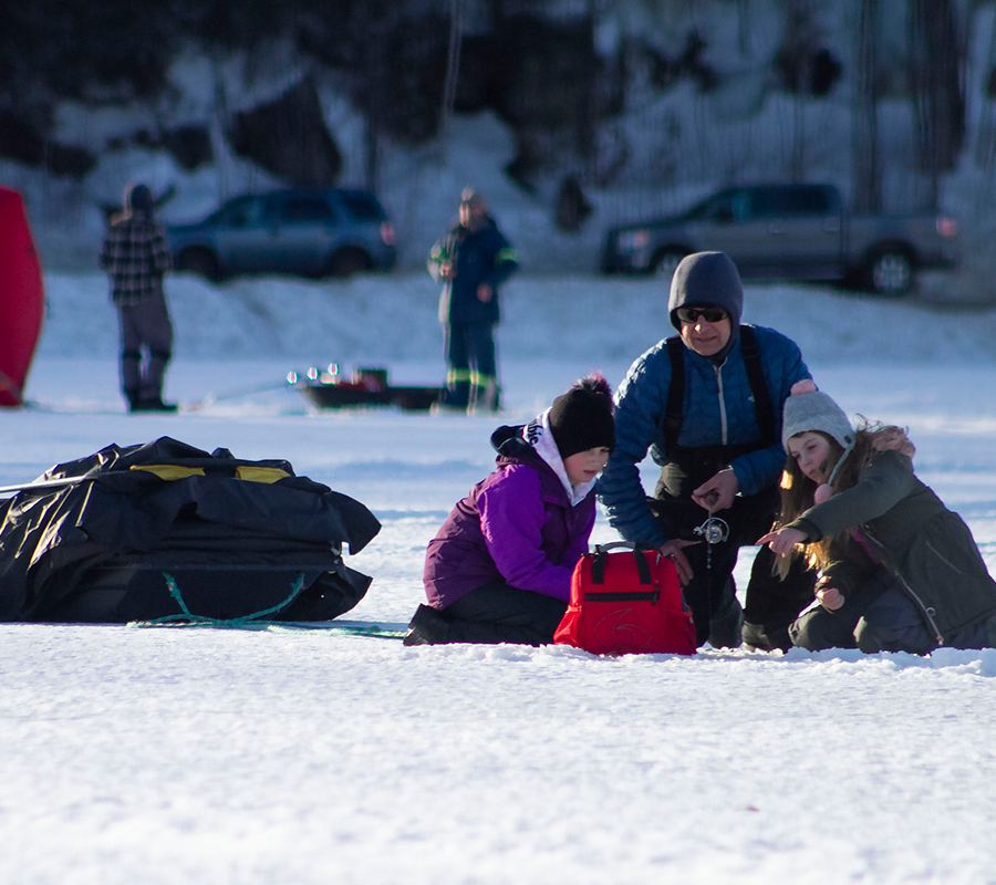
How-Tos
Get Fishing
Learn essential fishing techniques and become an advocate for sustainable fishing practices. Connect with fellow anglers to share experiences and knowledge.
Learn More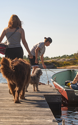
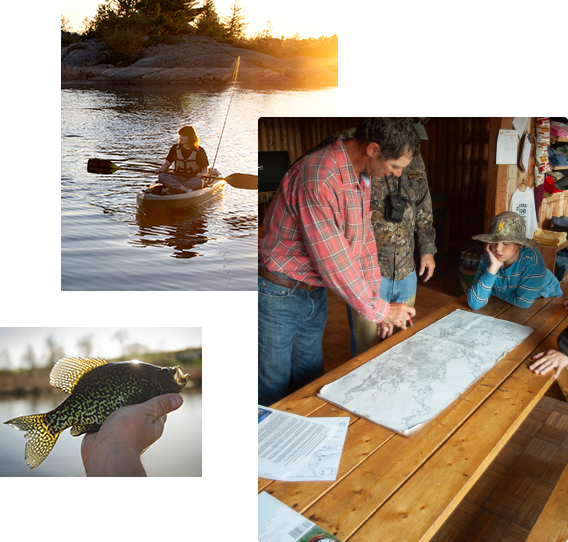
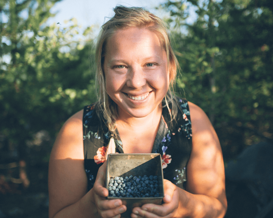
Advocacy | How-Tos
Start Conserving
Stay informed about our conservation programs and initiatives. Participate in preserving Ontario’s natural habitats for future generations.
Learn More